More than a week's worth of rain is expected to hit parts of the UK today as four days of thundery showers grip the country.
The Environment Agency has warned of further flooding today, issuing four flood warnings and 35 alerts for England.
Gale-force winds are also set to lash coastal areas over the coming days, with gusts reaching 36mph in south England on Friday.
Met Office forecaster Helen Roberts told Mirror Online: "We've got showery weather for the next four days, on pretty much any of those days there's potential for them to be heavy with the odd rumble of thunder.
"Today and tomorrow, western areas are most prone to the thundery showers.
"Into the weekend I would say it's more the southern half of the UK at the greatest risk.
"There is the potential for isolated gale-force gusts."
She said up to 40mm of rain is possible in the high grounds of west Wales and south-west Scotland today.
Similar rainfall levels may hit some parts of eastern Scotland tomorrow, the Met Office forecaster added.
The average monthly rainfall for the UK in October is 127mm.
Ms Roberts said strong winds are expected on the western and southern coasts today, before moving to the south coast tomorrow.
Over the weekend the blustery weather will affect the coast of north-west Scotland.
Met Office meteorologist Aidan McGivern warned that an occluded front could increase showers on Thursday night - as coastal gales lash the south of the country.
The BBC added that 'very significant' amounts of rain are expected over the next few days.
A mix of clear spells and heavy showers will affect most parts of the UK tonight.
The downpours will likely be most frequent across southern and western regions.
Regions to the northeast will experience the lengthiest dry spells.
Tomorrow should be a day of bright or sunny spells, with a scattering of heavy showers expected for most parts of the UK.
Saturday looks set to be partly cloudy with showers again, particularly in northern Scotland.
A further mix of partly cloudy skies and showers is anticipated for Sunday.
Met Office five-day weather forecast
Today:
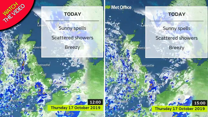
Sunshine and showers for most, with the north and east seeing the best of the sunshine and dry weather after any early fog clears. Showers becoming more frequent and heavier, particularly in the south and west, during the day.
Tonight:
Becoming windier in the south with areas of rain and showers moving northeast across the UK during the night. Northern Ireland seeing the driest conditions.
Friday:
Further areas of rain and showers affecting the UK. Eastern Scotland perhaps seeing some more persistent rain during the afternoon and evening. Windy in the south with coastal gales.
Outlook for Saturday to Monday:
Unsettled with further showers or rain on Saturday, and in the south on Sunday. Brighter, cooler and drier weather in the north on Sunday spreading to all areas on Monday.